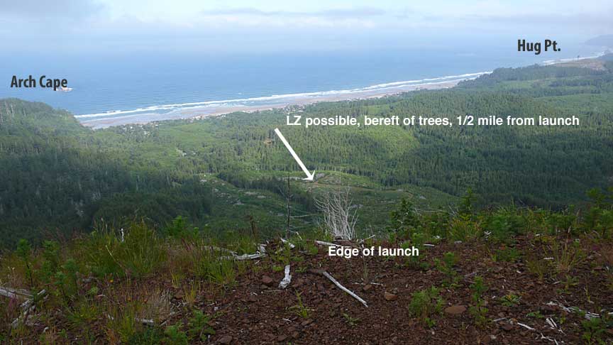
This gives a view from launch, looking sorta NW
Click image to change image (total 11) Last image is from beach back to launch.
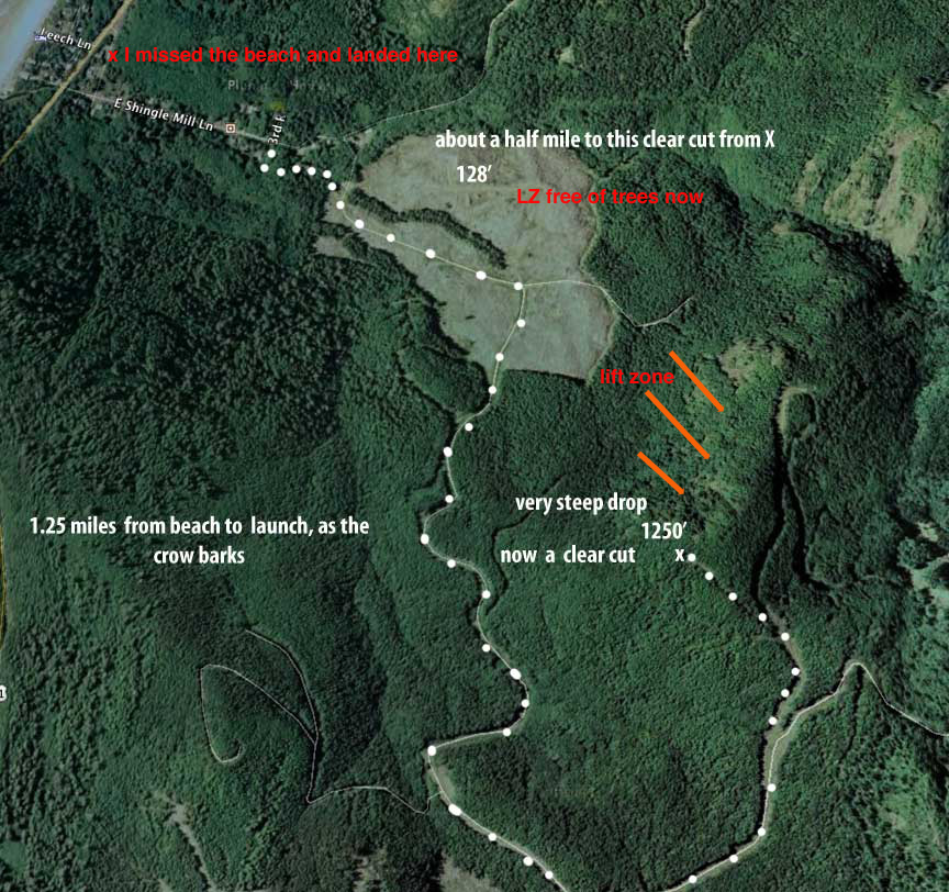
Here is a map of the area
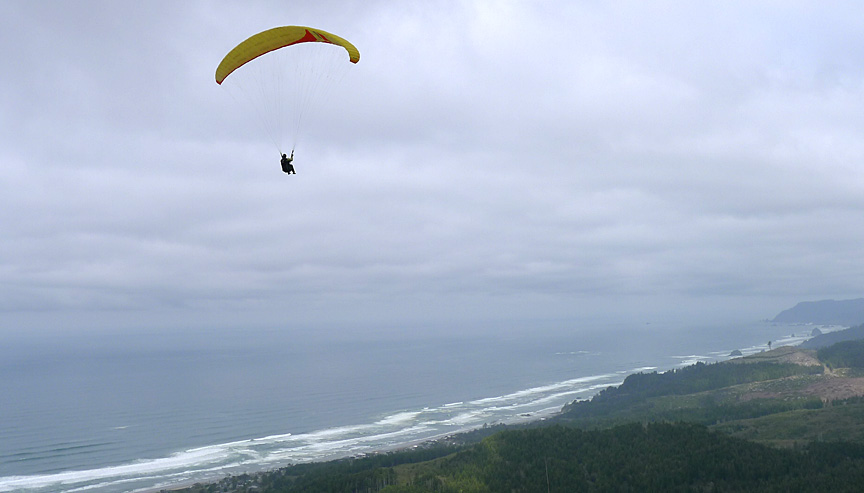
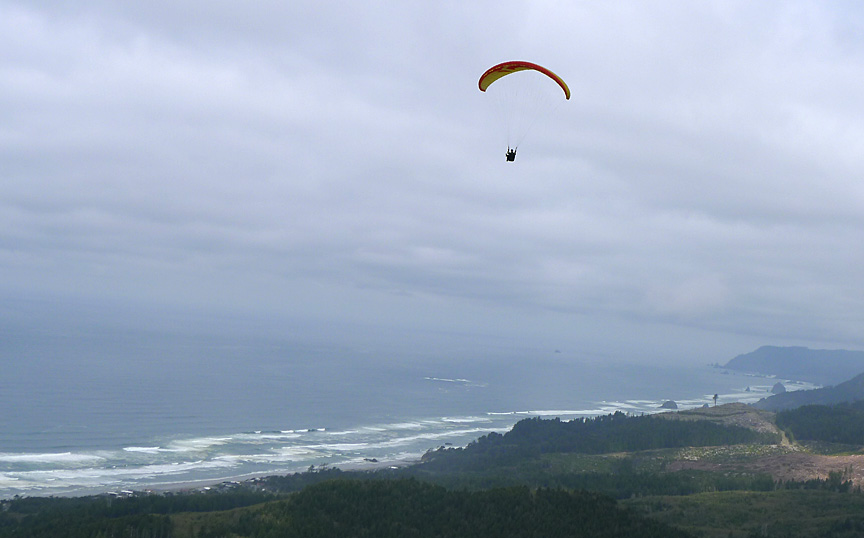
Molly took a series of shots after I launched. I pulled up in 10 mph NNW wind and went right up over launch, not even coming close to a couple worrisome snags just below and east of takeoff.
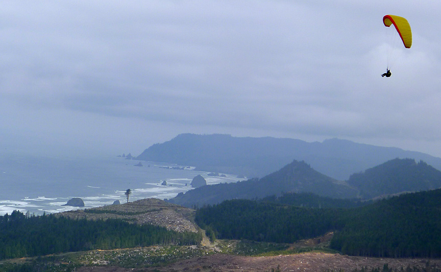
A compressed view with Hug Pt. ridge. Cannon Beach and Tillamook Head in background.
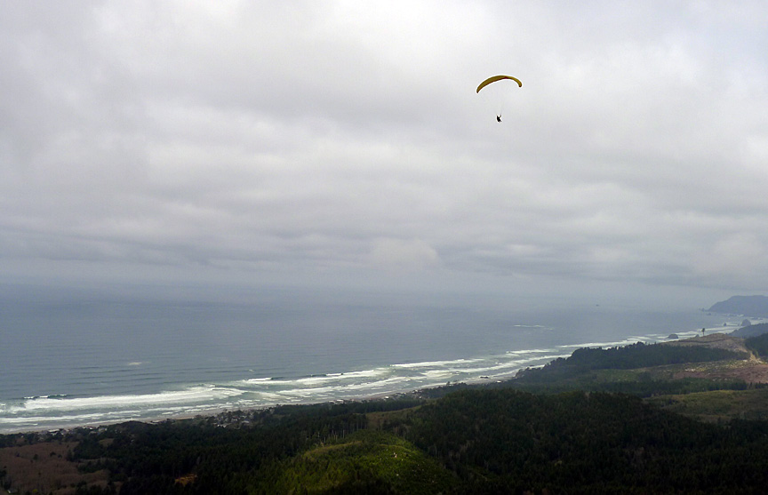
I got to about 1500' and headed out, staying at about 1400 for the first half. Then I began to sink, finding no lift on the north side of Arch Cape ridge.
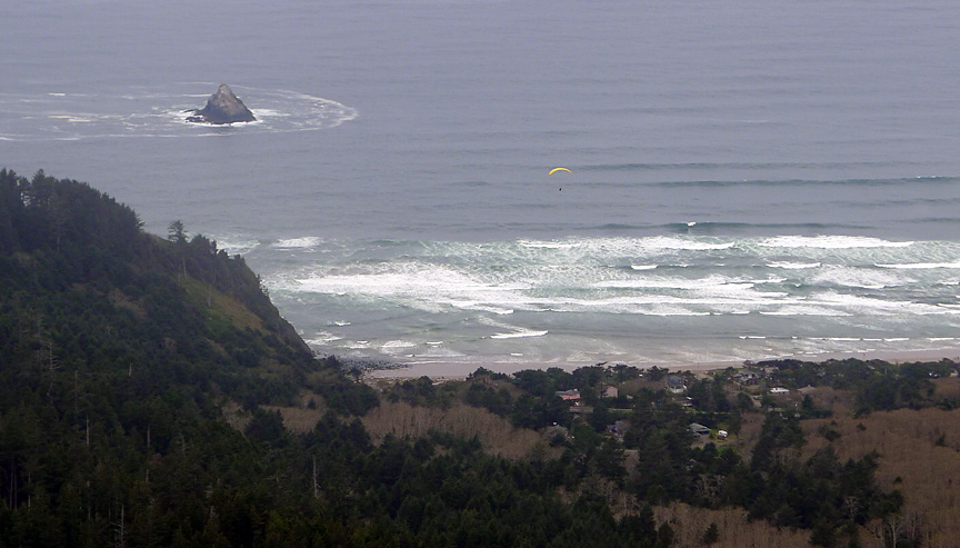
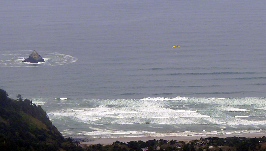
From this perspective I look OK, beach below. Really I was looking for a wide spot, as I could tell I was not going to make the beach.
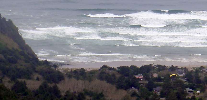
Getting lower. I lined up Arch Cape Mill Rd. for my landing, as the beach was disappearing.
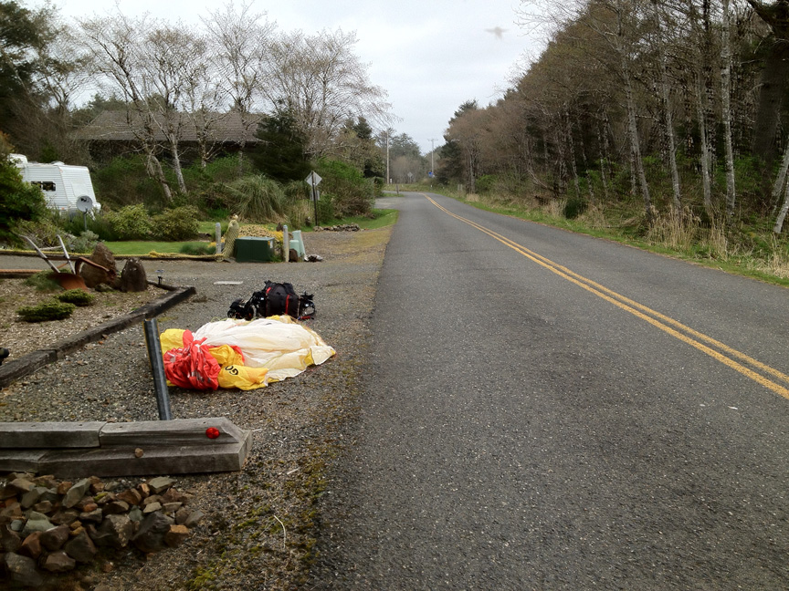
I landed near the fire station, just after a small truck passed below me. In the future I will want at least 500 over before heading out, or just land in the 3:1 LZ near launch.